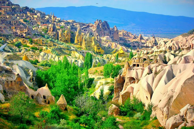
In Cappadocia, there are 5 of the most known underground cities in the world. These cities are Derinkuyu, Kaymaklı, Özkonak, Mazı and Tatlarin. They are all worth to see and must places to visit in Cappadocia.
Derinkuyu Underground City
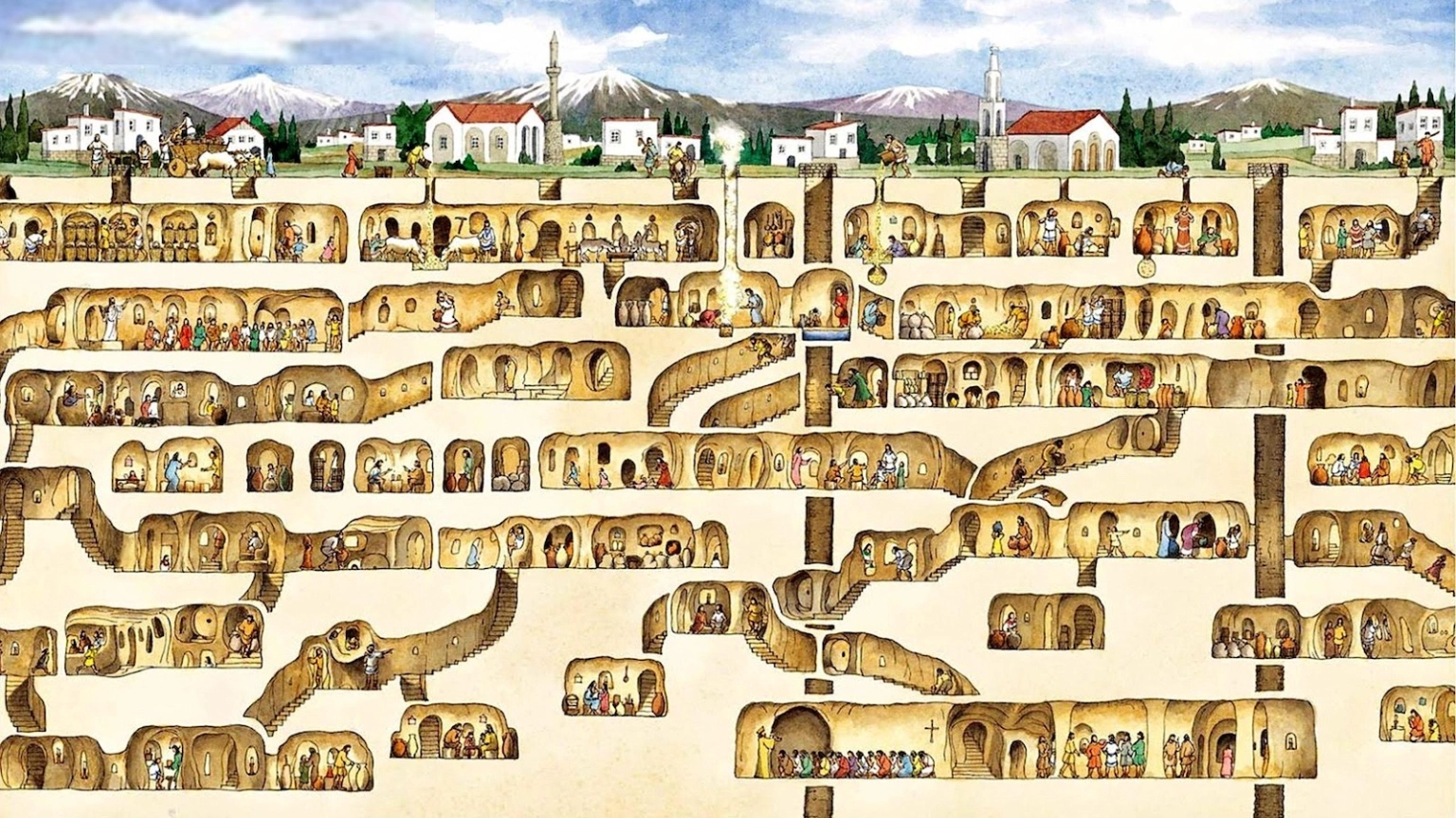
The city belongs to Nevşehir and Derinkuyu Underground City is one of the best places all tourists would definitely like to visit and it is very close to Kaymakli. Locals had been using it for centuries to hide from attacks. The depth of it is approximately 85 meters.
This underground city has all the features of an underground city as in barns, cellars, refectory, churches and boileries etc. Moreover, there is a missionary school on the 2nd floor. The school has a barrel vault ceiling and it is not common in underground cities. The spaces on the left of the hall are the study rooms. After the 3rd and 4th floors of the underground city, you can reach the staircase descends in depth and the cross-planned church. However, Each floor couldn’t benefit from the wells and ventilation shafts extending to the lower floor. The residents of this city concealed tops of some wells from the upper ground level to prevent poisoning during any invasion. However, you can only visit only ten percent of the the underground city. Here is for more of Derinkuyu Underground city in Cappadocia.
Here is the Derinkuyu’s directions on Google Maps:
Kaymakli Underground City
South of Nevşehir road takes you to the underground cities of Kaymakli and Derinkuyu respectively. It is below Kaymaklı Castle. Kaymaklı underground city offers a maze of tunnels and rooms carved eight levels deep into the earth. The first floor was a stable. Conversely, the other levels include living quarters, a church and even graves. The people of Kaymaklı village built their houses around about one hundred tunnels of the underground city whereas it consists of 8 levels below ground but visitors can visit only four of them. Here is the Kaymakli Underground City travel guide!
Here is the Kaymaklı’s directions on Google Maps:
Özkonak Underground City
The Özkonak (Ozkonak) underground city is located 14 km away from Avanos. It was right on the northern slopes of İdiş Mountain. The mountain emitted volcanic granite-made tuff layers and the layers are quite dense. The rooms connected to each other through tunnels spread over a wide area.
As opposed to Derinkuyu and Kaymaklı, there are very narrow and long ducts for communication between floors. Once the entrances of the rooms are closed, 5cm long chimneys provides the ventilation. Not like other underground cities, tunnel walls have ducts probably to pour hot oil on pursuing enemy. In Özkonak underground city, what are the same with Kaymaklı and Derinkuyu are water wells, fountains and bolt stones.
Here is the Özkonak’s directions on Google Maps:
Mazı Underground City
Mazı village used to be “Mataza” in ancient times. It is located 18km south to Ürgüp, east of Kaymaklı Underground City. In the Mazı underground city, there are four separate entrance, so You can reach the main one through a corridor made of irregular stones. The large bolt stone in the short corridor makes the entrance and exit of the underground city secure. The small area inside is to ease the sliding of the bolt stone. Visitors can reach the church of the city through a short corridor from the stables. Another bolt stone can close the entrance. Distinct from the church in Kaymaklı Underground City, they created the church apse on the long side corner and its facades have decoration of reliefs in Mazı. Although the renovation is uncompleted, you can feel deep in your soul what it must have been like to live here.
Here is the Mazi’s directions on Google Maps:
Tatlarin Underground City
Tatlarin town is located 10 km north to Acıgöl district. It is another amazing place in Cappadocia, with its underground city, churches and residential architecture. It takes place on the slope of the Castle hill. The narthex of the church has two naves, two apses and a barrel vault but unfortunately it has collapsed. The scenes in the well-preserved frescoes are separated from each other. They used dark gray on the floor and they used purple, mustard and red colors in the depictions. The underground city was opened to visitors in 1991. It brings to mind a military garrison or monastery owing to the size of venues and many food stores and churches. while this underground city is having a toilet, other cities have none. It may sound surprising to you but this is the most important feature of it. You can still visit them on the second floor.
Here is the Tatlarin’s directions on Google Maps:
If needed:
Municipality : https://www.urgup.bel.tr/en


